


The invisible face of oil pollution in the oceans
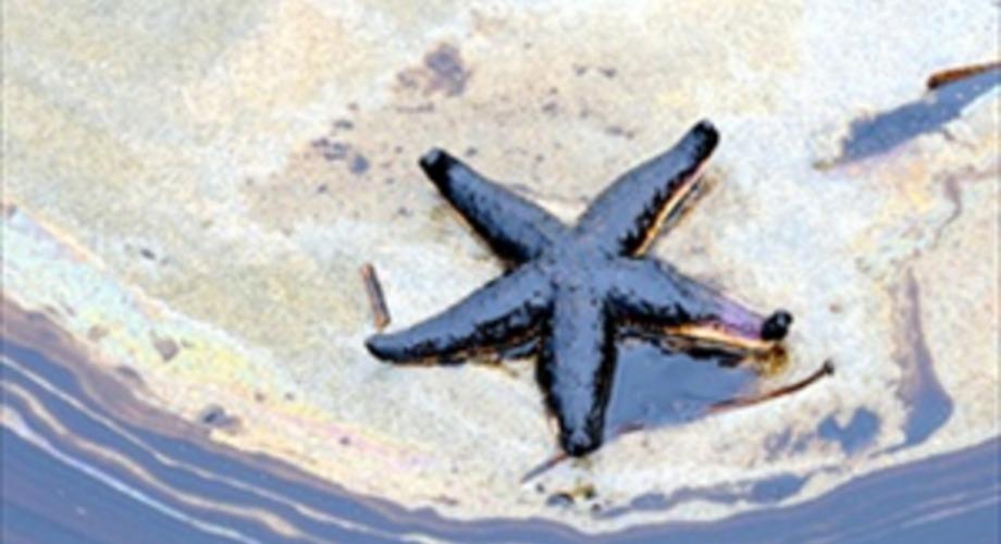
Satellite analysis shows that oil pollution could affect approximately 1.58 million square kilometers of ocean surface annually.
When oil pollution in the oceans is mentioned, major tanker accidents or environmental disasters such as Deepwater Horizon usually come to mind. But a new satellite analysis shows that much of the marine oil pollution may come from smaller, more persistent sources.Oil slicks associated with ships and offshore oil and gas activities are estimated to affect approximately 1.58 million square kilometers of ocean surface annually worldwide, according to environmental watchdog SkyTruth's 2026 Global Estimate of Marine Oil Pollution analysis.
Most of the oil pollution occurs near the coasts.
One of the striking findings of the analysis is that most of the oil pollution detected is concentrated in waters under countries' national jurisdiction rather than in the open ocean.
SkyTruth estimates that more than 90 percent of oil pollution occurs in these areas. The Mediterranean, Black Sea, Red Sea, Persian Gulf, off the coast of West Africa and around Indonesia are among the regions where density stands out.
This indicates that oil pollution can also create significant pressure on coastal ecosystems and marine protected areas.
Ships are one of the main resources
In the analysis, approximately 81 percent of attributable oil pollution appears to be linked to ships, and 18 percent to offshore oil and gas infrastructure.
This table shows that oil pollution in the seas is not only caused by major accidents. Smaller-scale but repeated leaks and operational activities can also affect large areas over time.
While major oil accidents are gaining more public visibility, the overall impact of regular small-scale pollution events may be less noticeable.
Satellite and artificial intelligence monitor marine pollution
In its analysis, SkyTruth uses images obtained from Sentinel-1 radar satellites and machine learning technologies. The system, called Cerulean, identifies potential oil slicks on the sea surface and tries to match them with possible sources such as ships and offshore infrastructure.
This technology makes it possible to monitor large sea areas more regularly and identify pollution sources that were previously difficult to detect.
However, the 1.58 million square kilometers value in the study is not a directly measured global total, but a model estimate based on satellite observations. SkyTruth also notes that radar images alone do not necessarily prove that a formation is oil, and satellite data is more limited, especially in open oceans.
The invisible part of marine pollution is revealed
New analysis shows that it is not enough to evaluate ocean oil pollution solely in terms of major environmental disasters.
Smaller but recurring pollution events from ships and offshore oil and gas activities can also put long-term pressure on marine ecosystems.
The development of satellite technologies and artificial intelligence-supported monitoring systems provides the opportunity to monitor this invisible pollution more closely. Better determination of where pollution is linked to and with which sources can contribute to the development of control and prevention policies for the protection of the seas.
Source:
SkyTruth, Global Estimate of Marine Oil Pollution, 2026
Source: SkyTruth, Global Estimate of Marine Oil Pollution, 2026