


The world’s first coral map is ready
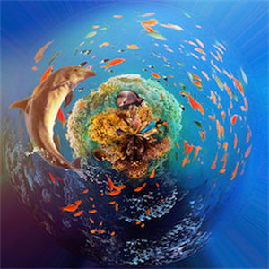
The researchers who brought more than two million photos from satellite in digital environment managed to remove a detailed map of coral reefs on the world for the first time. This map is aimed at rapidly deteriorating coral reefs with global warming and environmental pollution effect to reveal today’s condition and keep light in protection works. The Allen Coral Atlas project, named Paul Allen, from the founders of Microsoft, carries a guide to protect coral reefs. It will also lead to marine life planning and coral research along with this study. The researchers express that atlas is completed and this map is the first high definition and global diameter sample of its kind. On this map, users learn about the structures such as local reefs, underwater structures, sands, stones, sea plants.
More than two million images combined[
Maps allow you to see depth up to 15 meters. This will be a reference to people who want to work in relation to any region. It will also lead to support the underwater life. Project studies were first launched by Vulcan Inc., the company of Allen in 2017. Then the Hawaiian researcher Ruth Gates was the forefront of the project with super reef creation works, Vulcan Inc. had paid more work sponsorship. [
The project was understood by Planet’s satellite firm. 9 million dollar costs Allen undertakes, more than two million images from satellites were joined by volunteers and artificial intelligence and placed on the map in layers.
More than two million images combined[
Maps allow you to see depth up to 15 meters. This will be a reference to people who want to work in relation to any region. It will also lead to support the underwater life. Project studies were first launched by Vulcan Inc., the company of Allen in 2017. Then the Hawaiian researcher Ruth Gates was the forefront of the project with super reef creation works, Vulcan Inc. had paid more work sponsorship. [
The project was understood by Planet’s satellite firm. 9 million dollar costs Allen undertakes, more than two million images from satellites were joined by volunteers and artificial intelligence and placed on the map in layers.
Source: News